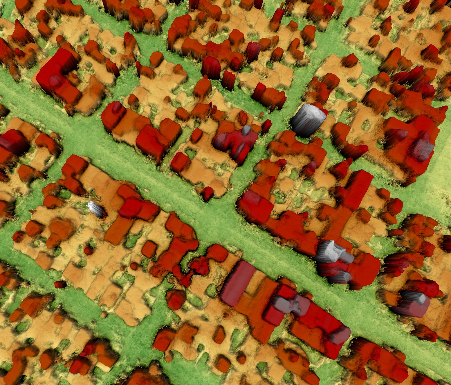

S2P (Satellite Stereo Pipeline) is a Python library and command line tool that implements a stereo pipeline which produces elevation models from images taken by high resolution optical satellites such as Pléiades, WorldView, QuickBird, Spot or Ikonos. It generates 3D point clouds and digital surface models from stereo pairs (two images) or tri-stereo sets (three images) in a completely automatic fashion.
A wide variety of stereo correlation algorithms are supported, including several flavors of semi-global matching (SGM), TV-L1 optical flow, etc.
S2P was used to win the 2016 IARPA Multi-View Stereo 3D Mapping Challenge.
S2P Library’s main features are:
Software languages are:
S2P Library is compliant with the following operating systems:
Space Business Unit is the ideal partner for your projects. We can assist you in the different phases: